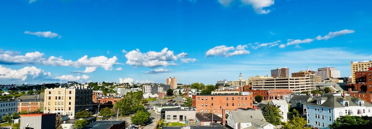
You’re already in the center of everything. Bayside sits at the heart of the peninsula, which means just about anywhere you want to go in Portland is a short walk, bike ride, or bus trip away. The neighborhood’s flat terrain and grid layout make navigation simple—no GPS required.
On Foot
Bayside is fundamentally a walkable neighborhood. The Old Port, Arts District, and waterfront are all within easy walking distance. The neighborhood’s compact size and grid of streets make navigation simple, and the flat terrain means you won’t break a sweat getting where you’re going.
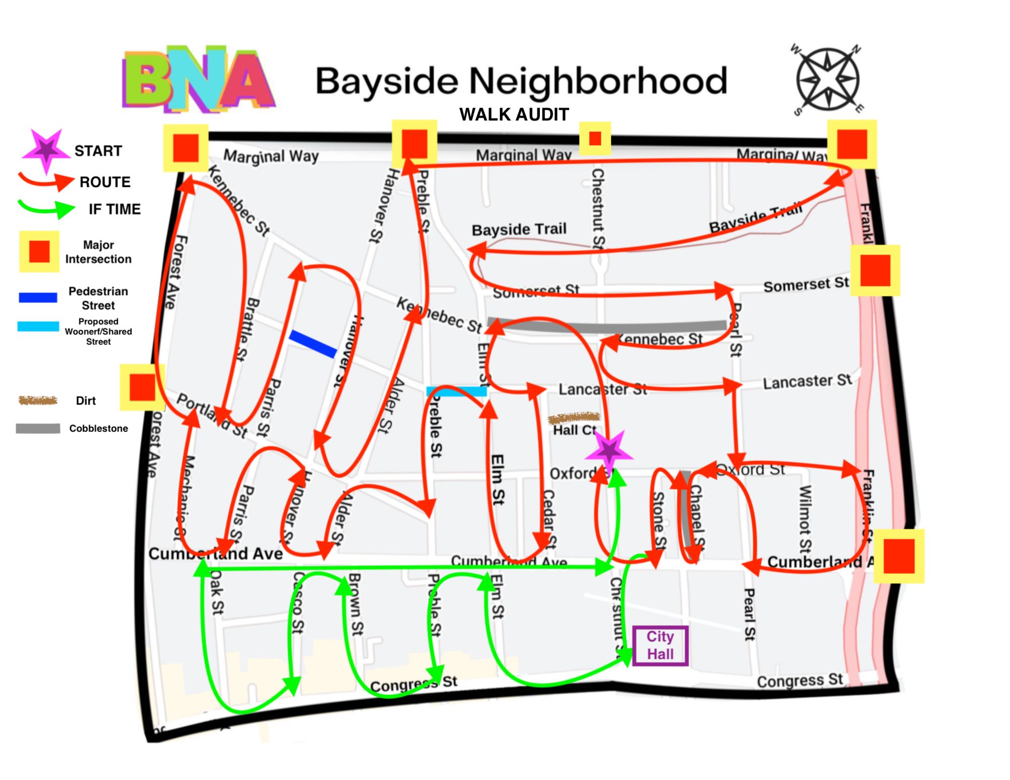
Pedestrian infrastructure is constantly improving, with new crosswalks, better lighting, and traffic calming measures being added regularly, particularly at busy intersections like Oxford, Portland, and Preble Streets. Recent community focus groups on pedestrian safety are working with city officials to implement solutions that make walking safer and more pleasant.

By Bike
Bayside’s flat terrain and grid layout make it bike-friendly, with infrastructure constantly improving. Portland Street has bike lanes, and connections to Portland’s broader bike network are excellent—the Bayside Trail links to the Eastern Promenade and Back Cove paths, and downtown bike lanes are easily accessible. The city’s Bicycle and Pedestrian Advisory Committee has conducted audits of Portland Street and continues working on improvements.
Public Transit
METRO bus service runs through and around Bayside, making it one of the best-connected neighborhoods for public transit on the peninsula. Several routes serve the area:
- Routes along Congress Street connect Bayside to downtown and beyond
- Forest Avenue routes provide north-south connections
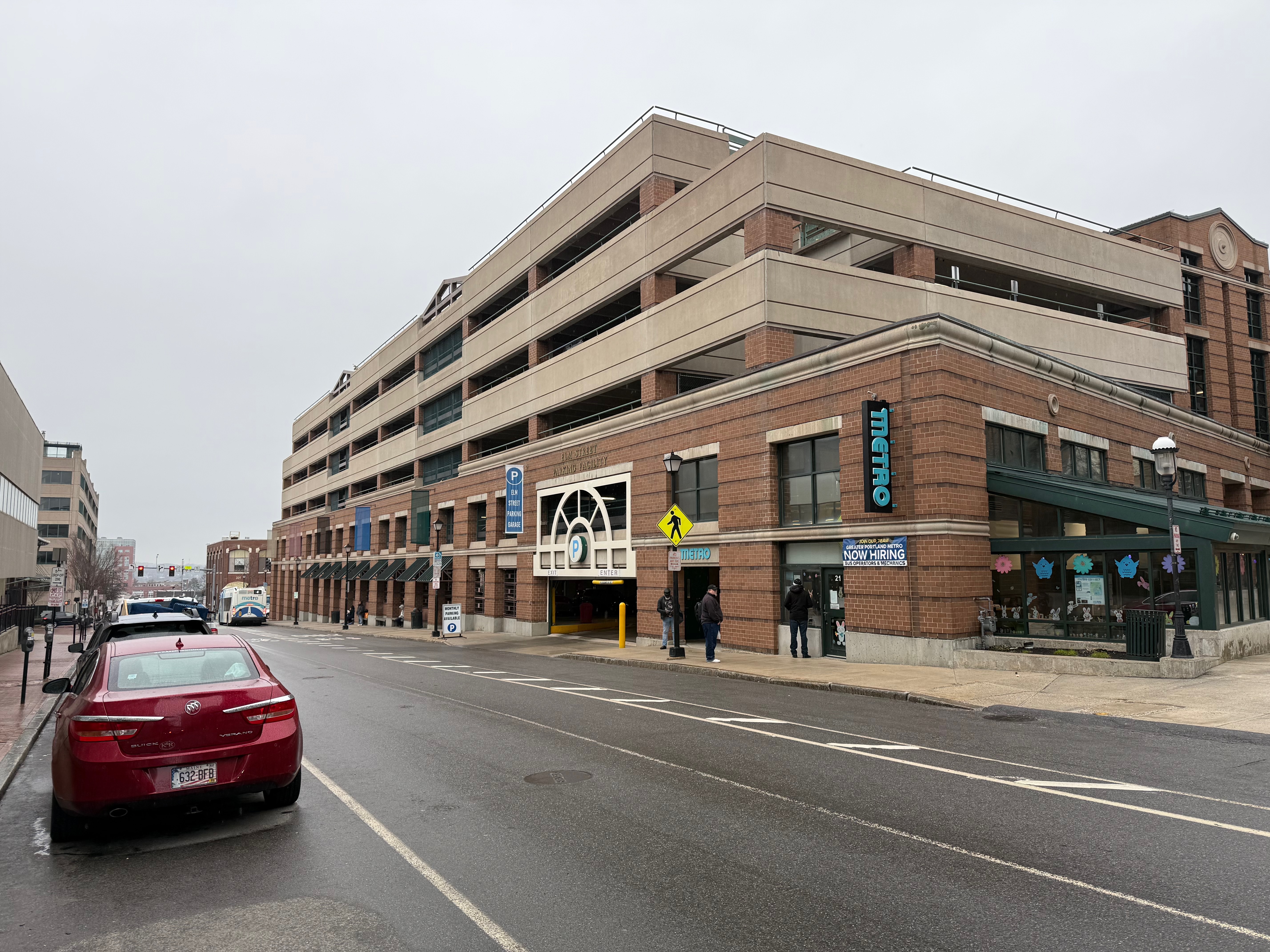
- Routes serving the transportation hub on Elm Street
Portland High School students who live in Bayside receive METRO passes since the neighborhood is within the two-mile radius that doesn’t qualify for school buses. The district is exploring expanding this program to King Middle School students.
For routes, schedules, and fare information, visit METRO.
By Car
Major routes bound Bayside on all sides:
- Forest Avenue (west) – connects to Route 1 and points north
- Franklin Arterial (east) – major north-south route
- Congress Street (south) – runs through downtown to the West End
- I-295 (north) – interstate access via Franklin or Forest Avenue exits
Getting in and out of Bayside by car is easy. Getting around within the neighborhood during business hours can be slower due to traffic, particularly on Portland Street and at the Preble/Portland/Oxford intersection.
Parking varies by block. Some streets have ample street parking; others are more challenging, particularly near businesses and services. New developments include parking structures, which may ease street parking pressure over time.
Landmarks & Key Locations
Bayside is home to several major city institutions and neighborhood anchors:
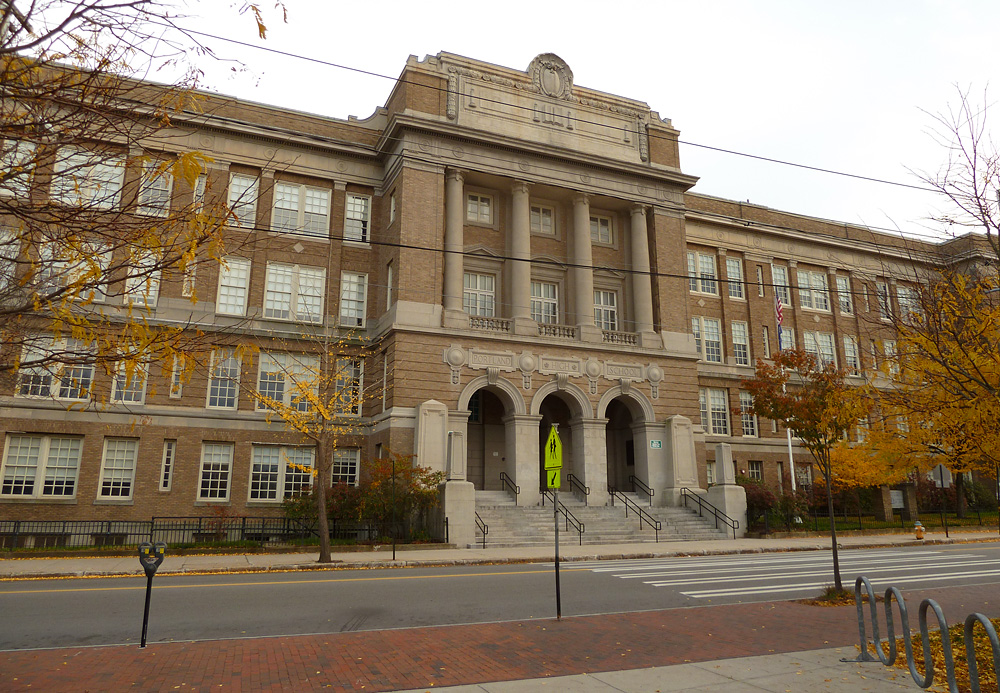
- Portland High School – 284 Cumberland Avenue
- Baxter Academy for Technology and Science – 185 Lancaster Street
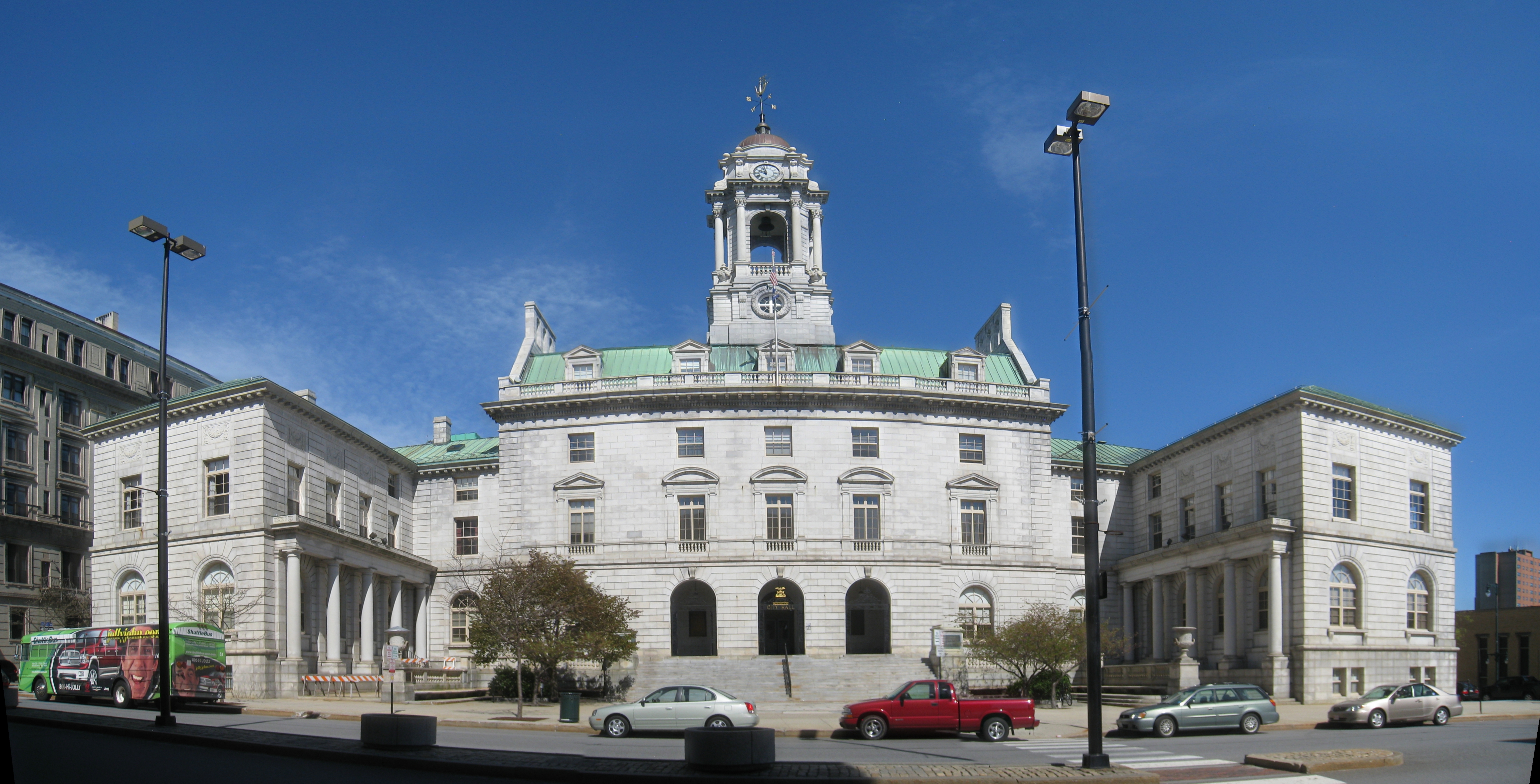
- Portland City Hall – 389 Congress Street (at the southern edge of Bayside)
- U.S. Post Office – 125 Forest Avenue (Portland’s main post office)
- Boys & Girls Clubs of Southern Maine – 174 Lancaster Street
- Whole Foods Market – 2 Somerset Street
- Bayside Community Garden – Lancaster Street
- ConvenientMD Urgent Care – 166 Bedford Street
These landmarks make Bayside a hub for city services and daily life—residents can handle government business, pick up mail, grab groceries, access healthcare, and more without leaving the neighborhood.
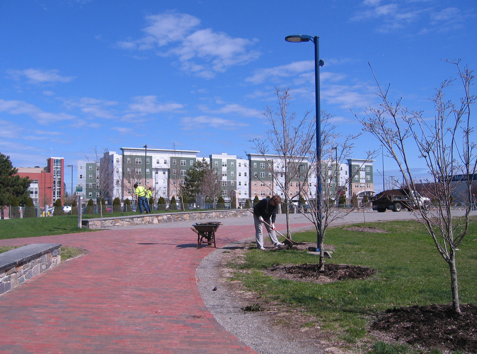
The Bayside Trail
The neighborhood’s crown jewel. This beautiful urban greenway runs from Preble Street to Marginal Way, where it connects to the Eastern Promenade Trail and Back Cove Trail, creating a car-free route to some of Portland’s best outdoor spaces. Completed in 2011 with support from the Trust for Public Land and Portland Trails, the trail transformed a former industrial railroad corridor into a ribbon of green through the neighborhood—great for walking, running, biking, and getting a breath of green space in the middle of the city. Future plans include extending it to Deering Oaks. For maps, visit Portland Trails.
City Government & Representation
Bayside is part of Portland’s District 1 and is currently represented by:
City Council
- Councilor Sarah Michniewicz – District 1 Councilor (Bayside resident)
State & Federal Representation
- State House District: House District 119
- State Senate District: Senate District 24
- U.S. House: Maine’s 1st Congressional District
For city services, residents can:
- Report issues via SeeClickFix
- Contact the City Manager’s Office
- Attend City Council meetings (usually held at City Hall)
- Connect with Constituent Services
